Our Services
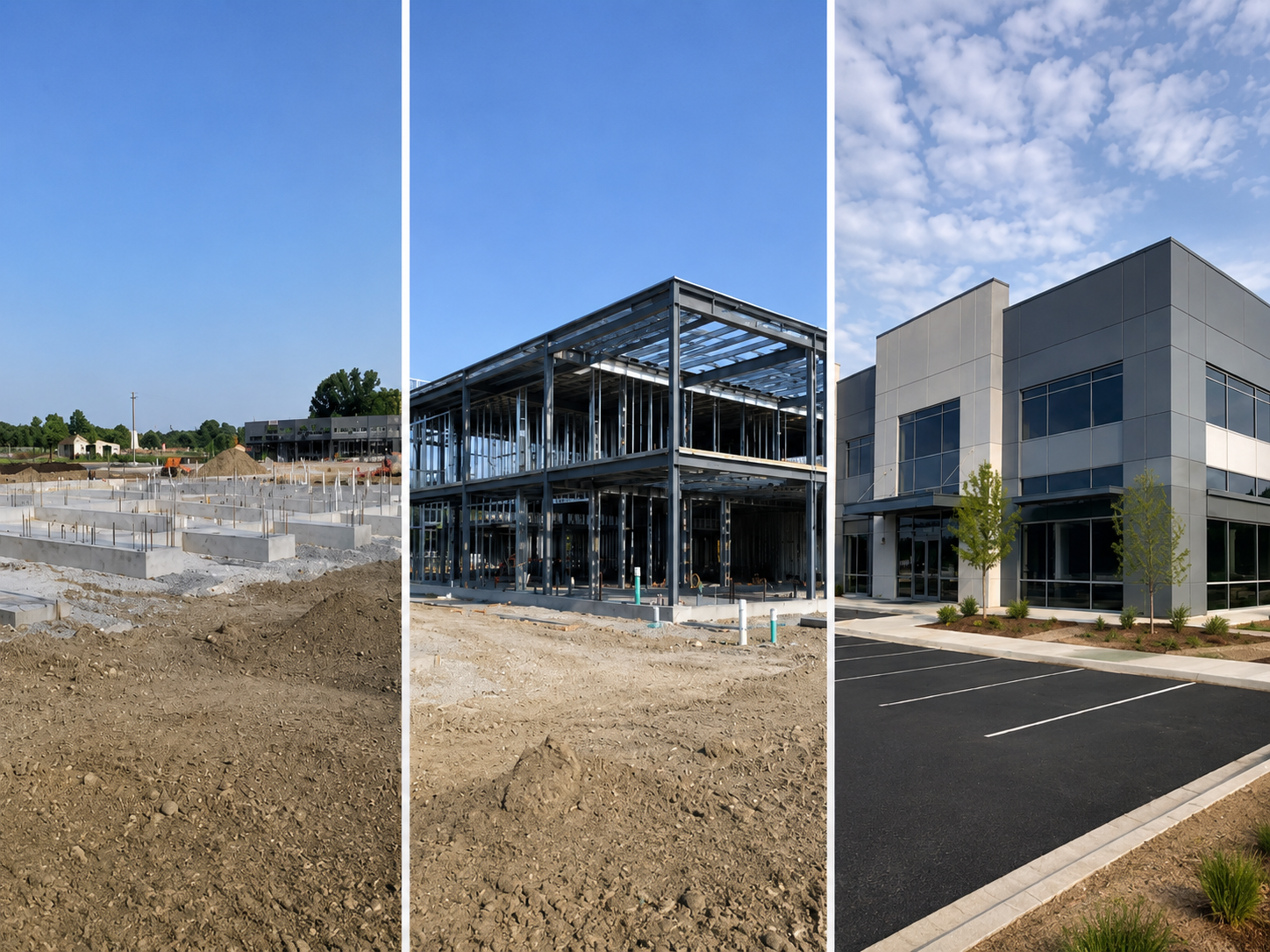
Scheduled site documentation that captures construction progress from start to finish. We provide organized aerial imagery, ground-level photos, progress records, and final as-built documentation to help project teams verify completed work, support change orders, reduce disputes, and preserve a clear record of the project throughout construction.
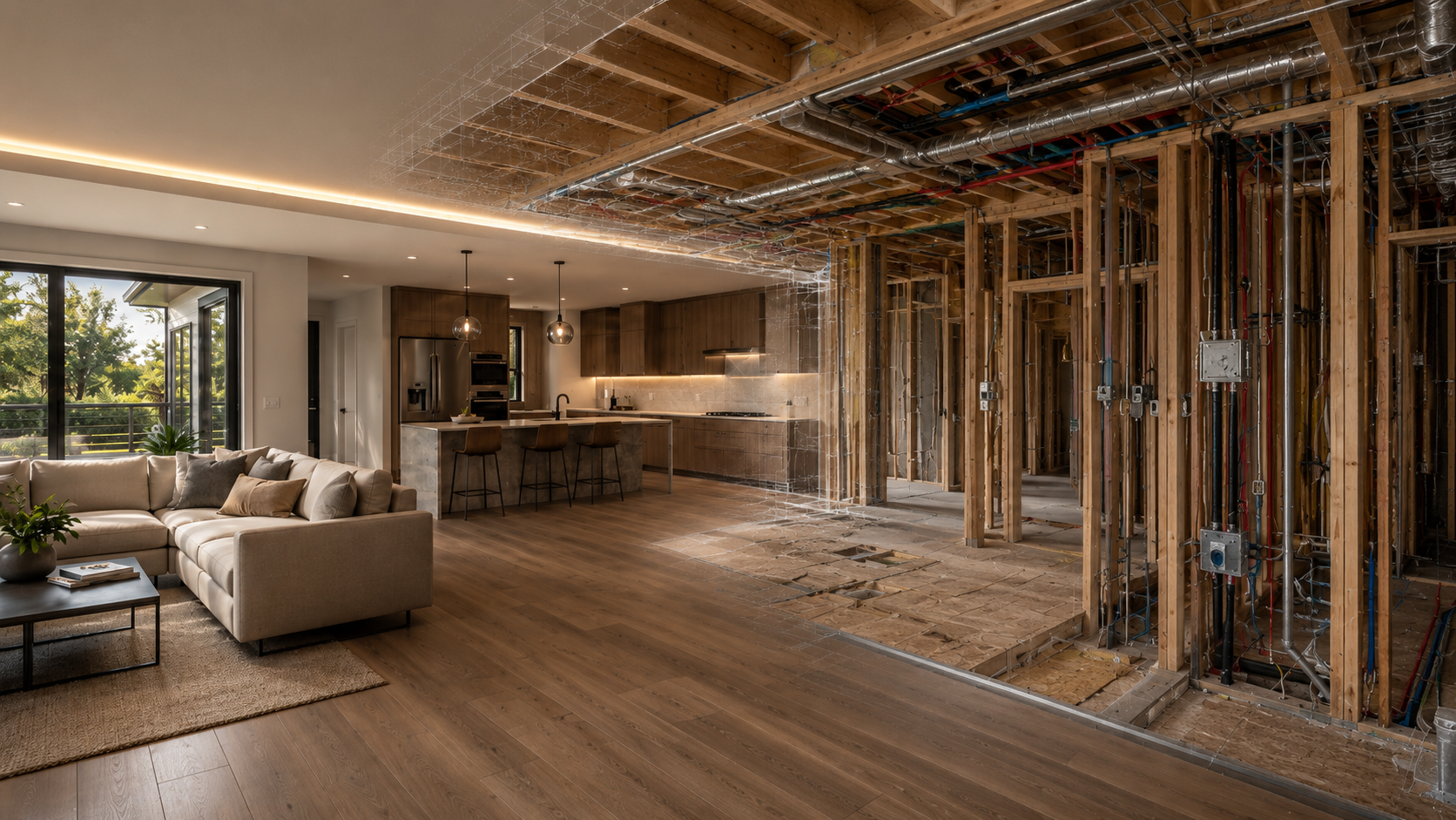
Accurate measured documentation of existing buildings, structures, and sites before construction begins. We provide detailed records to support renovations, additions, design development, and project planning. Ideal for architects, engineers, contractors, and property owners who need reliable existing conditions data for decision-making and project coordination.
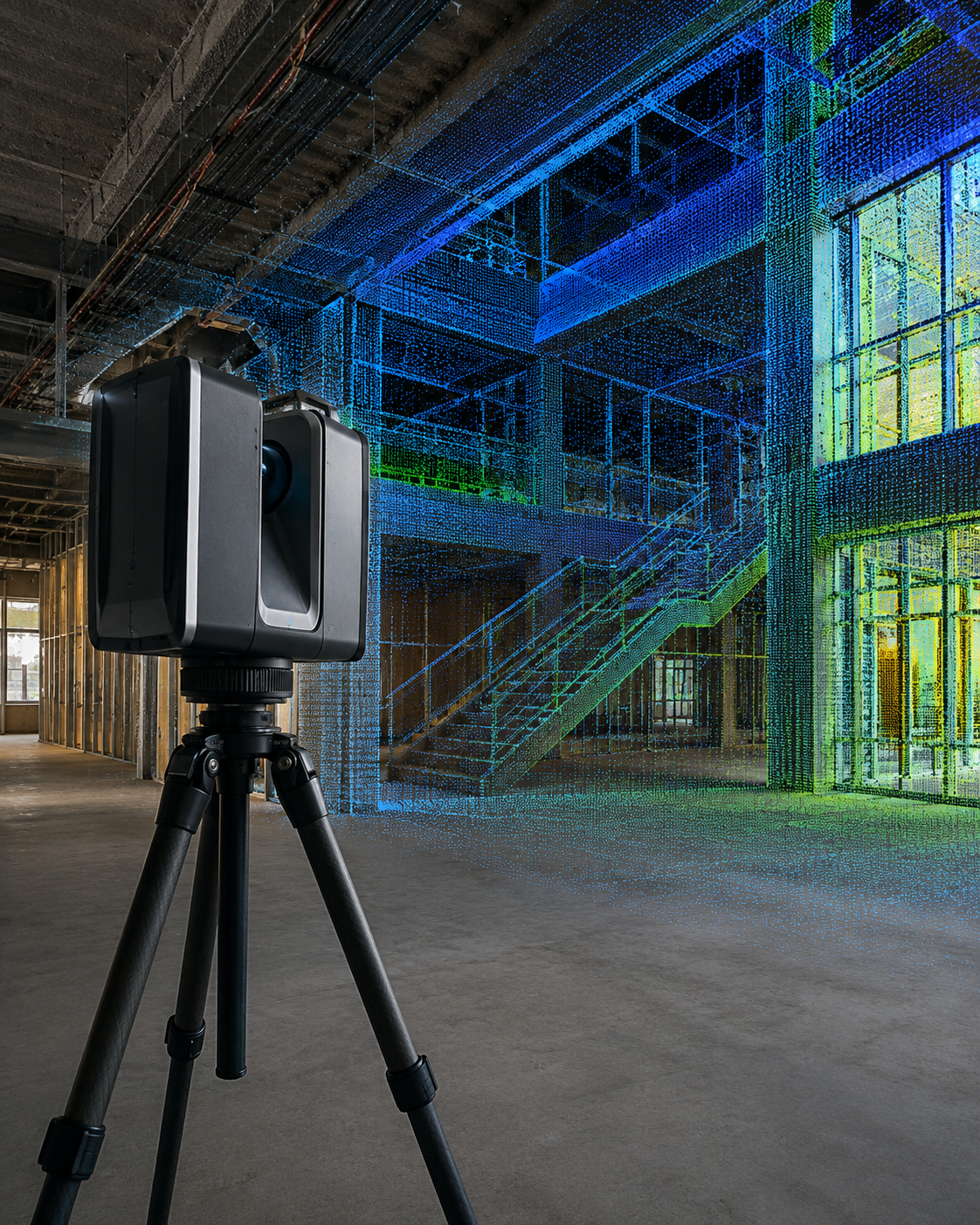
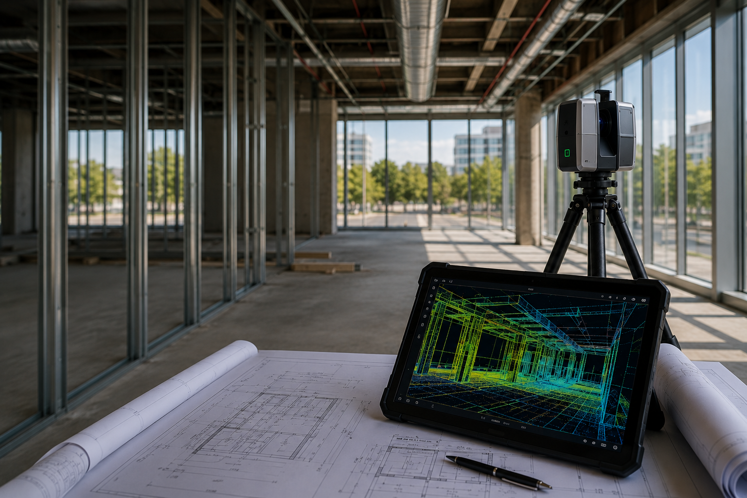
Capture accurate existing conditions with high-density point clouds and reality capture technology. Our LiDAR scanning services provide precise 3D documentation of buildings, infrastructure, and project sites, helping architects, engineers, contractors, and owners reduce uncertainty, improve coordination, and make informed decisions throughout planning, design, and construction.
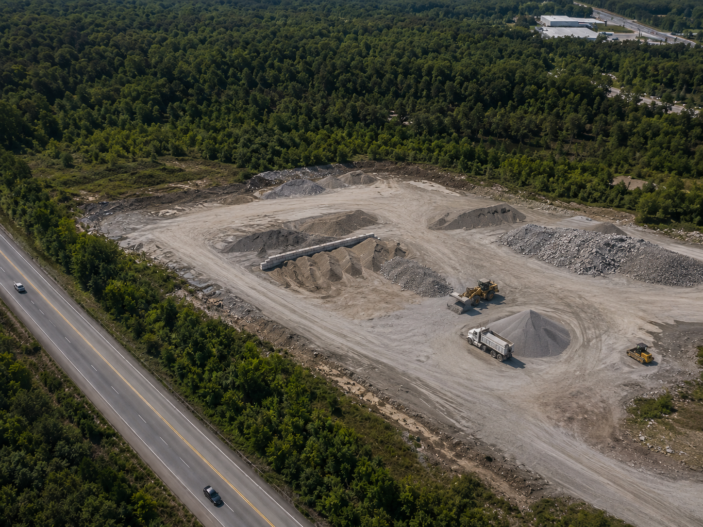
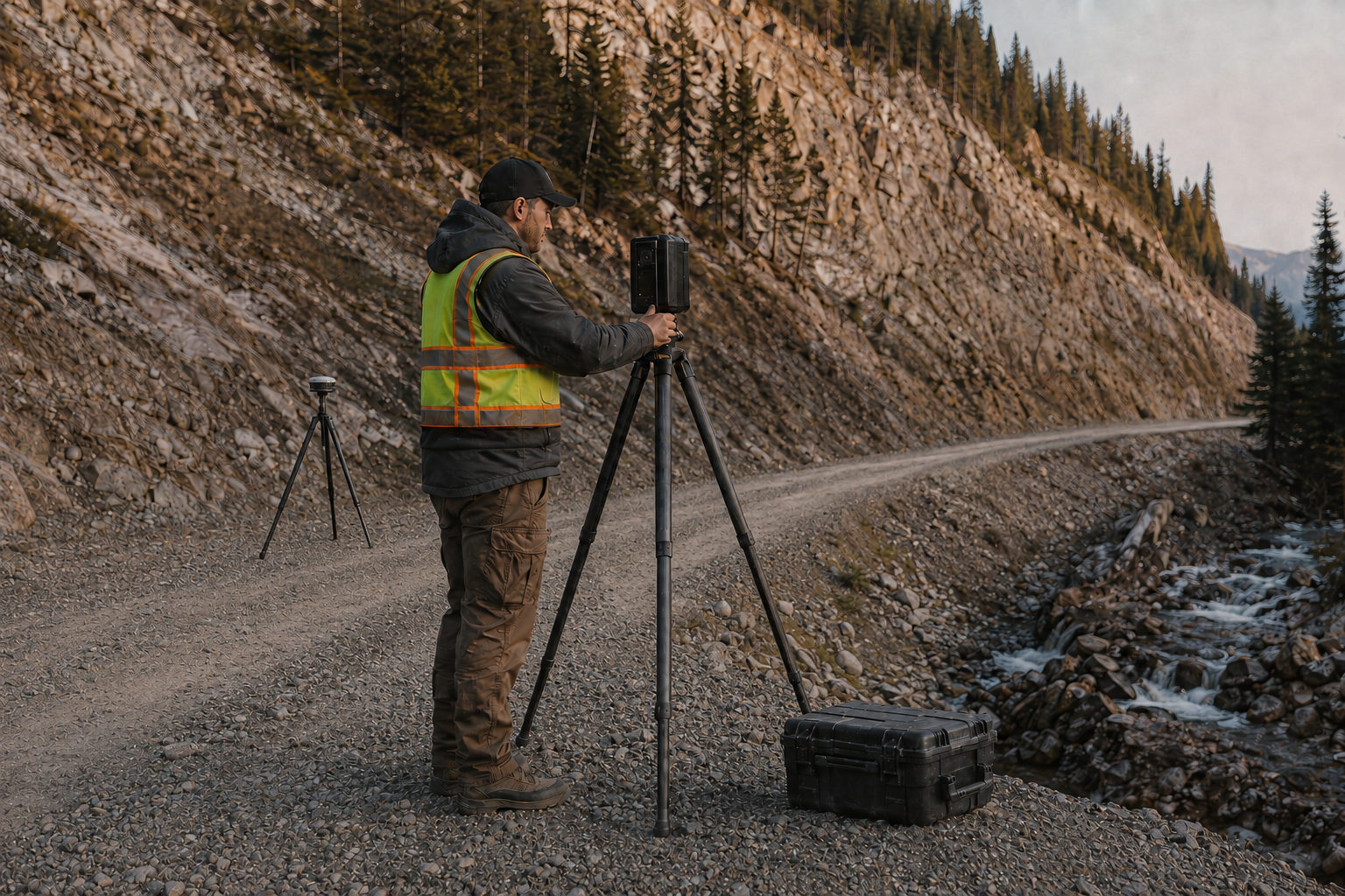
Drone-based mapping for cut/fill areas, stockpile volumes, graded surfaces, haul roads, and active earthwork progress. Our aerial documentation helps contractors, owners, and project teams track site changes, verify quantities, support pay applications, and maintain a clear visual record of work completed over time.
About
our company
As-Built Imagery provides accurate building, site, and construction documentation for architects, engineers, contractors, property owners, and project teams.
Founded two years ago, the company was built around a simple goal: to help clients clearly understand existing conditions before they design, build, renovate, or make critical project decisions. With years of field documentation experience, As-Built Imagery combines practical site knowledge with modern tools including high-resolution imagery, drone mapping, LiDAR scanning, and reality capture.
Our work focuses on documenting what is actually there — buildings, utilities, site conditions, construction progress, earthwork, roof conditions, and project details that are often difficult to capture from the ground alone. Whether supporting renovation planning, construction verification, site mapping, or as-built records, we provide clear visual information that helps reduce uncertainty and improve decision-making.
As-Built Imagery serves clients who need dependable documentation, clean deliverables, and a practical understanding of field conditions. Every project is approached with attention to accuracy, communication, and usefulness, so the final information can support real project needs in the office and in the field.
We help clients see existing conditions clearly and plan for the future appropriately.