 Image 1 of 1
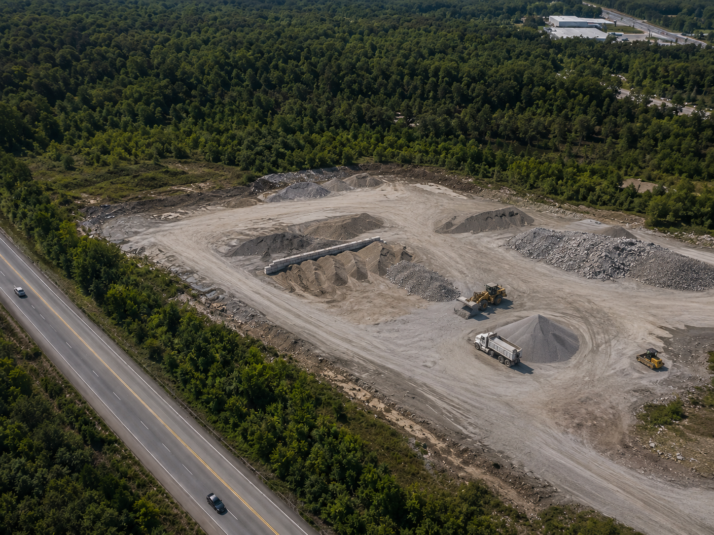
Drone-based mapping for cut/fill areas, stockpile volumes, graded surfaces, haul roads, and active earthwork progress. Our aerial documentation helps contractors, owners, and project teams track site changes, verify quantities, support pay applications, and maintain a clear visual record of work completed over time.
Drone-based mapping for cut/fill areas, stockpile volumes, graded surfaces, haul roads, and active earthwork progress. Our aerial documentation helps contractors, owners, and project teams track site changes, verify quantities, support pay applications, and maintain a clear visual record of work completed over time.